Map Features
Swipe & Split Map
BaseMap Picker
Digitizing/Drawing features and capturing attributes
Coordinate Converter
Export Map
Skills
Go To Coordinates
Bearing & Distance
Symbols & Labels
Colorize to Map
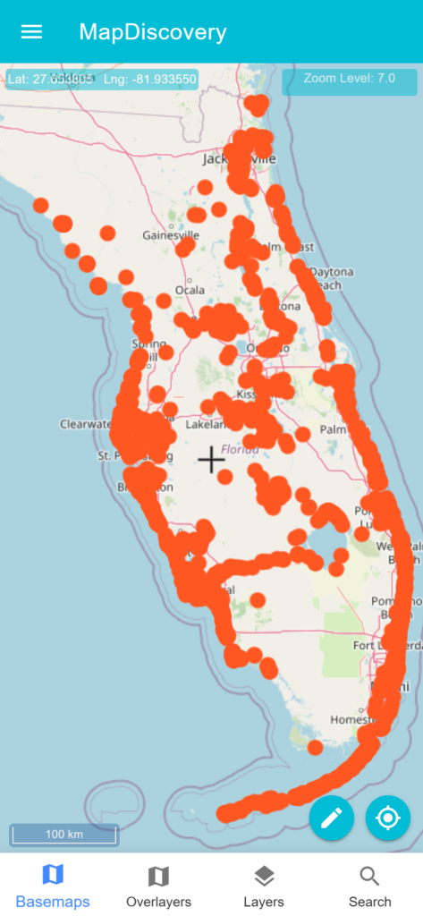
Marker Symbols & Clustering
Grids & Graticules
Grids & Graticules
Data
Add Vector Data
GeoPackage Vector Features
Shapefile
Geojson
KML
GPX
Support Offline Tiles
COG Cloud Optimized GeoTIFF
Map Data Store
JSON Data Catalog
Home
Windows Map Discovery Application
Features
Support
Contact
Select Page
KML